
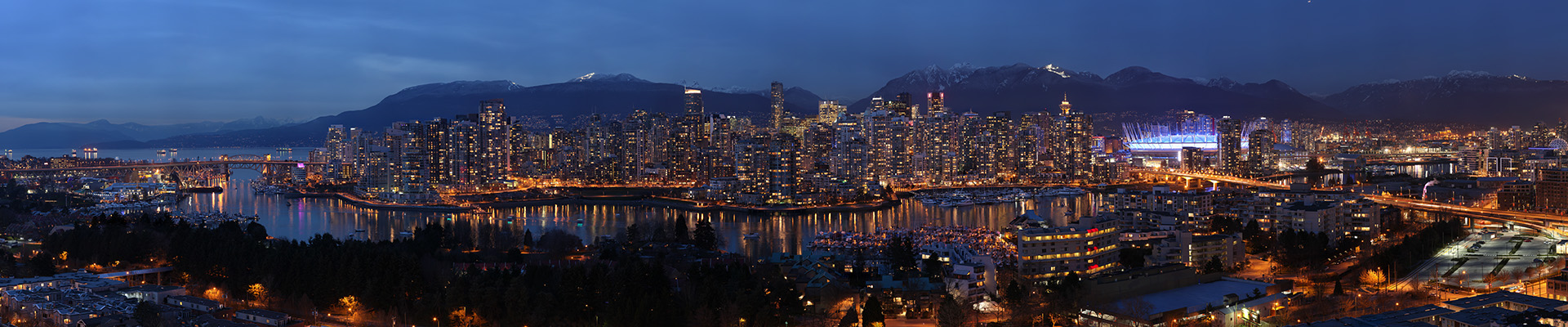
A breathtaking 180° view of Vancouver from the neighbourhood of Fairview. Fairview is on the west side of the city of Vancouver, British Columbia, Canada. It runs from 16th Avenue in the south, to Burrard Street in the west, to Cambie Street in the east, and to False Creek in the north. The 1,027 megapixel image is composed of 110 photos taken on February 27, 2012. Special thanks to Hweely Lim and Matt Ward. Other versions: DAY | NIGHT | The Making of Vancouver from Fairview
Pano Tag: views
Vancouver Skyline from Fairview
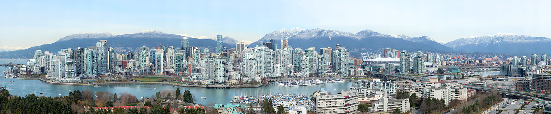
A breathtaking 180° view of Vancouver from the neighbourhood of Fairview. Fairview is on the west side of the city of Vancouver, British Columbia, Canada. It runs from 16th Avenue in the south, to Burrard Street in the west, to Cambie Street in the east, and to False Creek in the north. The 6,766 megapixel image is composed of 840 photos taken on February 27, 2012 using a Canon 5D MKII, Canon EF 500mm f/4L IS USM, and GigaPan EPIC Pro. Special thanks to Hweely Lim and Matt Ward. Other versions: DUSK | NIGHT | The Making of Vancouver from Fairview
Vancouver’s North Shore (Fall)
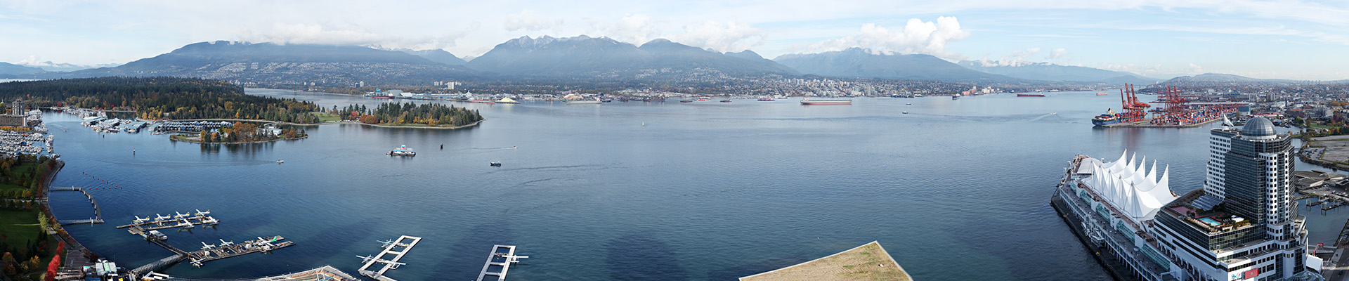
Vancouver’s North Shore (north of Burrard Inlet) is a term commonly used to refer to several areas adjacent to Vancouver, British Columbia, Canada: the District of West Vancouver; the City of North Vancouver; the District of North Vancouver; and the North Shore Mountains. The North Shore Mountains are a mountain range overlooking Vancouver. Their southernmost peaks are visible from most areas in Vancouver and form a distinctive backdrop for the city.
Vancouver’s North Shore is a 180° view, 8.6-gigapixel image that is made up of 1000 photos taken on November 4, 2011 and then stitched together. The final hi-res file is 186,804 X 45,930 pixels or 8,580 megapixels. Special thanks to Sylvia Chen and Hweely Lim.
Vancouver from Cypress Mountain Lookout
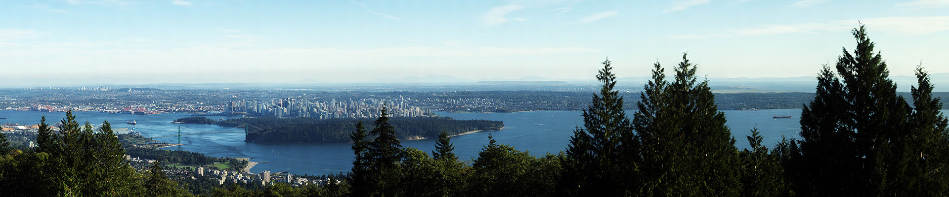
Vancouver from Cypress Mountain Lookout is a 8.3 billion pixel image, 112° view of the Vancouver and the entire Lower Mainland. The image is composed of 1512 individual photos stitched together. The final hi-res file is 250,739 X 33,079 pixels or 8,294 megapixels.