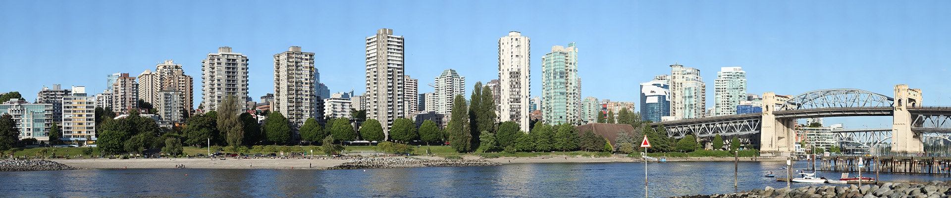
Sunset Beach and Burrard Bridge

Sunset Beach sits right next to the historic Art Deco Burrard Street Bridge where False Creek meets English Bay in Vancouver. The image is composed of 399 indiviudal photos and captured using a Canon 5D MKII, Canon EF 400mm f/5.6L IS USM lens, and a Gigapan EPIC Pro.

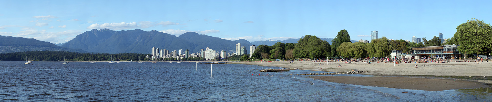
Kitsilano Beach and English Bay

Kitsilano Beach is one of the most popular beaches in Vancouver. Located at the north edge of the Kitsilano neighbourhood, the beach faces out onto Burrard Inlet . The beach is home to the longest swimming pool in Canada, the salt-water outdoor Kitsilano Pool. The image is composed of 342 indiviudal photos and captured using …

Read more

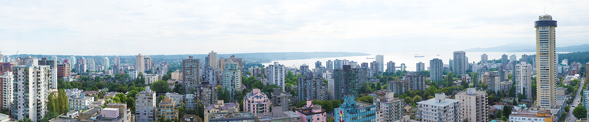
Vancouver’s West End

Cloudy sunset over Vancouver’s West End neighborhood with English Bay on the horizon. The 6,115 megapixel image is composed of 348 photos taken on August 1, 2012.

Vancouver Skyline from Fairview – Night
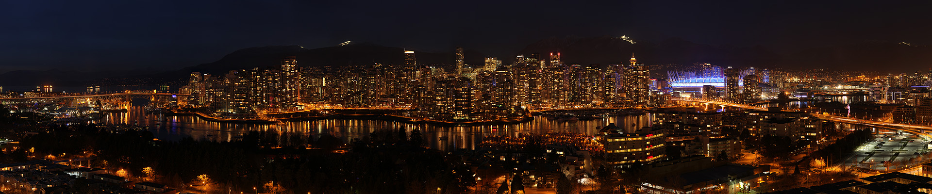
A breathtaking 180° view of Vancouver from the neighbourhood of Fairview. Fairview is on the west side of the city of Vancouver, British Columbia, Canada. It runs from 16th Avenue in the south, to Burrard Street in the west, to Cambie Street in the east, and to False Creek in the north. The 1,027 megapixel …

Read more

Vancouver Skyline from Fairview – Dusk

A breathtaking 180° view of Vancouver from the neighbourhood of Fairview. Fairview is on the west side of the city of Vancouver, British Columbia, Canada. It runs from 16th Avenue in the south, to Burrard Street in the west, to Cambie Street in the east, and to False Creek in the north. The 1,027 megapixel …

Read more

Vancouver Skyline from Fairview

A breathtaking 180° view of Vancouver from the neighbourhood of Fairview. Fairview is on the west side of the city of Vancouver, British Columbia, Canada. It runs from 16th Avenue in the south, to Burrard Street in the west, to Cambie Street in the east, and to False Creek in the north. The 6,766 megapixel …

Read more

Vancouver’s North Shore (Fall)

Vancouver’s North Shore (north of Burrard Inlet) is a term commonly used to refer to several areas adjacent to Vancouver, British Columbia, Canada: the District of West Vancouver; the City of North Vancouver; the District of North Vancouver; and the North Shore Mountains. The North Shore Mountains are a mountain range overlooking Vancouver. Their southernmost …

Read more

Vancouver from Cypress Mountain Lookout

Vancouver from Cypress Mountain Lookout is a 8.3 billion pixel image, 112° view of the Vancouver and the entire Lower Mainland. The image is composed of 1512 individual photos stitched together. The final hi-res file is 250,739 X 33,079 pixels or 8,294 megapixels.

Vancouver’s North Shore (Summer)

Vancouver’s North Shore is a 180° view, 18-gigapixel image that is made up of 1600 photos taken on July 6, 2011 and then stitched together. The final hi-res file is 299,980 X 60,000 pixels or 17,999 megapixels. The image is the largest Canadian digital photo ever created as of August 20, 2011. Special thanks to …

Read more

Vancouver Skyline (Canada Day 2011)

Canada Day 2011 is a 7.2 billion pixel image, 90° view of the famous Vancouver skyline from across Stanley Park. The image is composed of 1224 individual photos taken on July 1, 2011. The horizontal banding is due to the change in cloud and lighting conditions during the 90 minute shoot. The final hi-res file …

Read more