
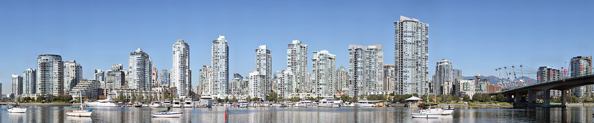
Yaletown is an area of Downtown Vancouver approximately bordered by False Creek, Robson, and Homer Streets. Formerly home to the city’s warehouses, the area has been revitalized with commercial and residential developments. The marinas, parks, high rise apartment blocks, and converted heritage buildings constitute one of the most significant urban regeneration projects in North America. Note: Broken sail masts and riggings due to movement of boats.
Pano Tag: views
Vancouver Sunset – View from Living Shangri-la Vancouver
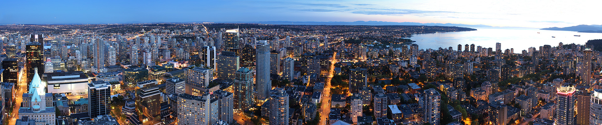
A 156° view of Vancouver, BC Canada shot from the 58th floor of Living Shangri-la Vancouver (the tallest building in the city). Similar view as Vancouver 12 Gigapixels.
Vancouver West End – View from Shangri-la Hotel
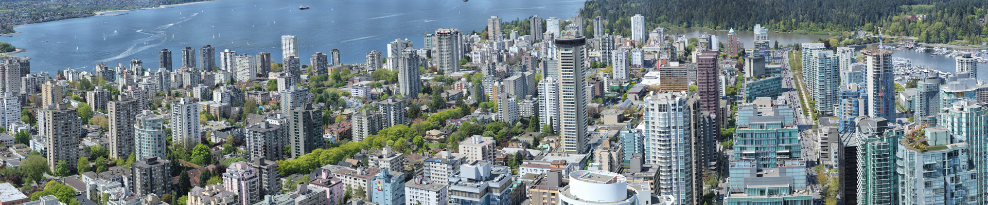
Vancouver West End is a 10 billion pixel, 100° West-to-North view of Vancouver, BC Canada. The image is a composite of 816 individual photos taken on May 8, 2010 from the 58th floor of Living Shangri-la Vancouver using a GigaPan EPIC 100, Canon EOS Rebel T2i and a Canon EF 70-300mm f/4-5.6 IS USM.
Port Moody: Eagle Mountain and Burrard Inlet
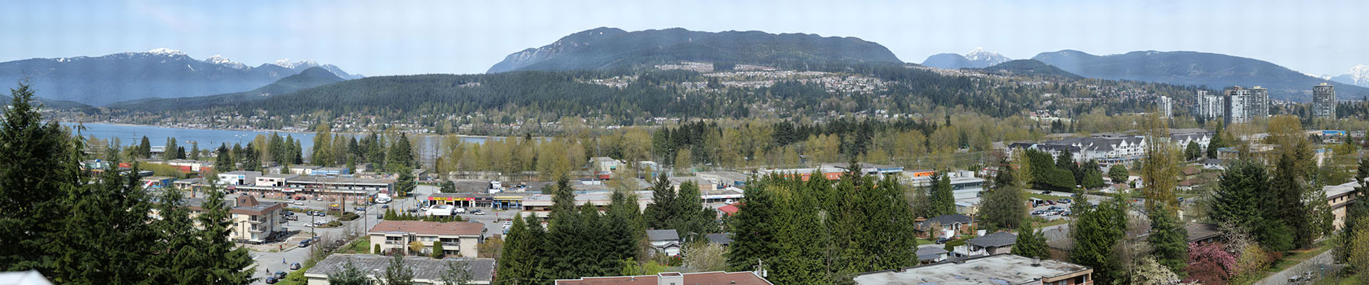
Eagle Mountain, also known as Eagle Ridge, is the mountainous ridge with many indistinct summits between Buntzen Lake and Coquitlam Lake near Coquitlam, British Columbia. In 1903, the Vancouver Power Company (now BC Hydro) built a 3.6 km (2 mi) long, 1.2 km (1 mi) deep tunnel under Eagle Mountain from Coquitlam Lake to Buntzen Lake to supply water to Vancouver’s first hydroelectric power plant on Indian Arm.