Vancouver’s West End
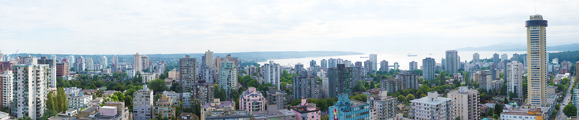
Cloudy sunset over Vancouver’s West End neighborhood with English Bay on the horizon. The 6,115 megapixel image is composed of 348 photos taken on August 1, 2012.

Cloudy sunset over Vancouver’s West End neighborhood with English Bay on the horizon. The 6,115 megapixel image is composed of 348 photos taken on August 1, 2012.
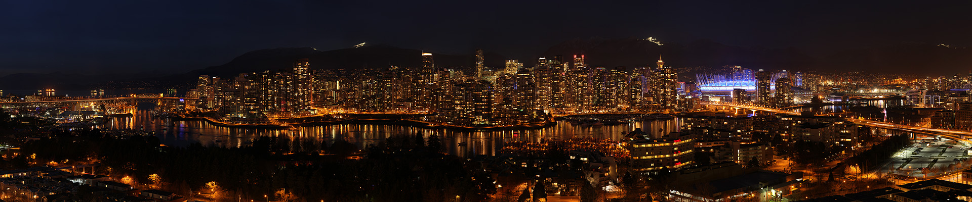
A breathtaking 180° view of Vancouver from the neighbourhood of Fairview. Fairview is on the west side of the city of Vancouver, British Columbia, Canada. It runs from 16th Avenue in the south, to Burrard Street in the west, to Cambie Street in the east, and to False Creek in the north. The 1,027 megapixel …
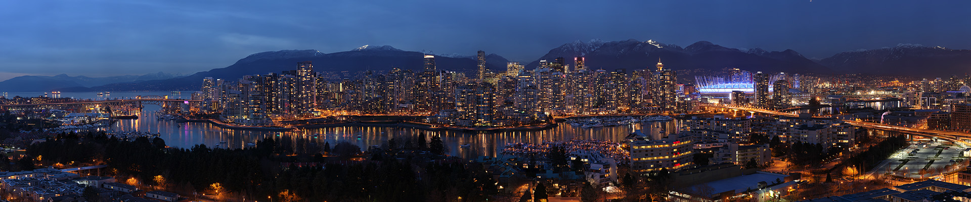
A breathtaking 180° view of Vancouver from the neighbourhood of Fairview. Fairview is on the west side of the city of Vancouver, British Columbia, Canada. It runs from 16th Avenue in the south, to Burrard Street in the west, to Cambie Street in the east, and to False Creek in the north. The 1,027 megapixel …
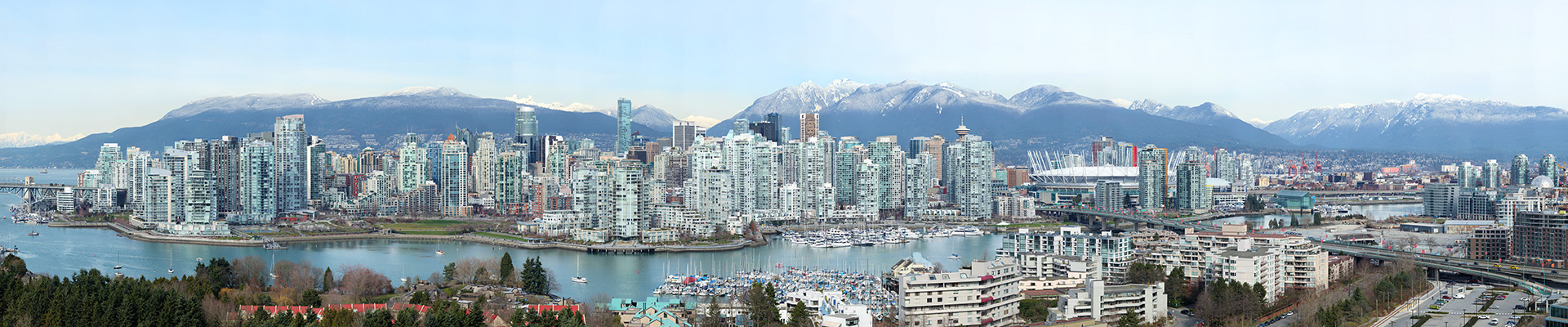
A breathtaking 180° view of Vancouver from the neighbourhood of Fairview. Fairview is on the west side of the city of Vancouver, British Columbia, Canada. It runs from 16th Avenue in the south, to Burrard Street in the west, to Cambie Street in the east, and to False Creek in the north. The 6,766 megapixel …
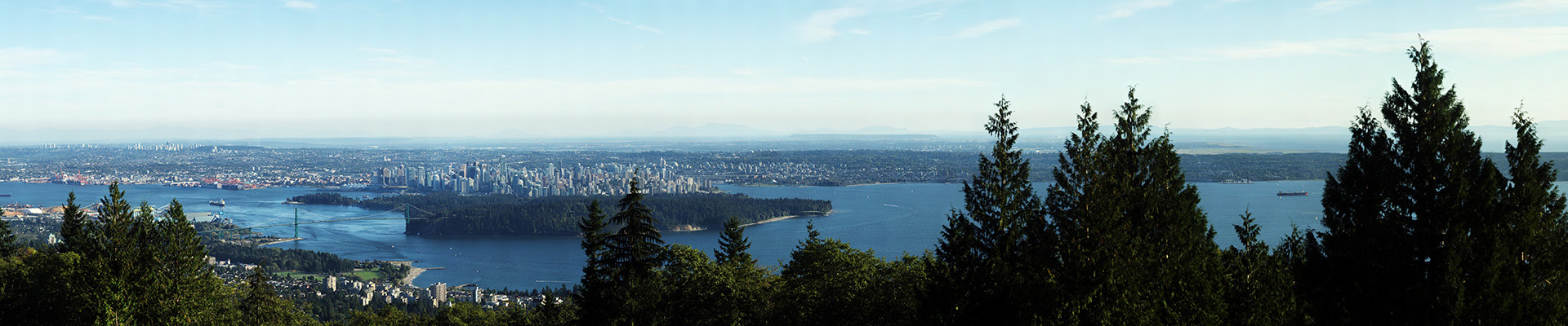
Vancouver from Cypress Mountain Lookout is a 8.3 billion pixel image, 112° view of the Vancouver and the entire Lower Mainland. The image is composed of 1512 individual photos stitched together. The final hi-res file is 250,739 X 33,079 pixels or 8,294 megapixels.
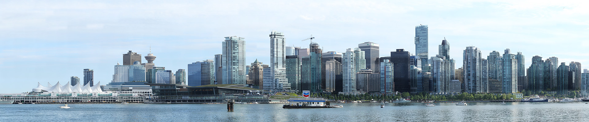
Canada Day 2011 is a 7.2 billion pixel image, 90° view of the famous Vancouver skyline from across Stanley Park. The image is composed of 1224 individual photos taken on July 1, 2011. The horizontal banding is due to the change in cloud and lighting conditions during the 90 minute shoot. The final hi-res file …
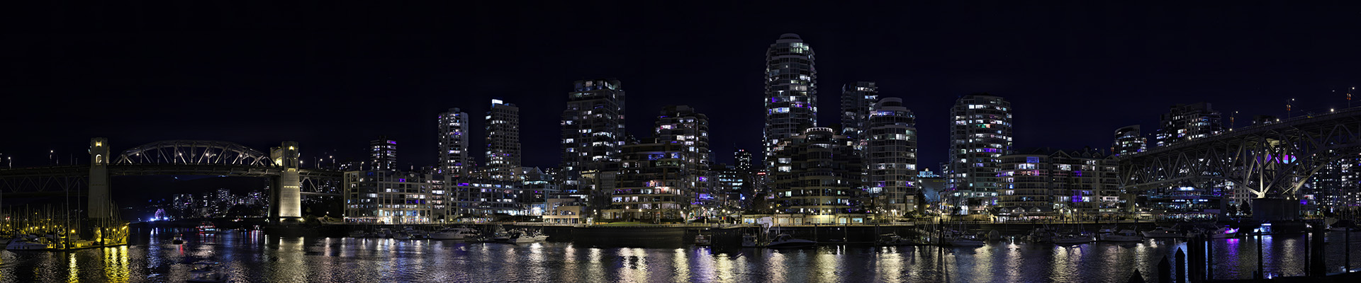
Granville Slopes is a 10 block area located between the Burrard Bridge (left) and Granville Bridge (right), sloping down from Pacific Avenue to the False Creek waterfront. Granville Slopes is emerging as one of Vancouver’s highest density residential neighborhoods.
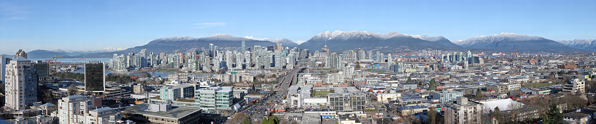
Downtown Vancouver is a 160° view of downtown Vancouver, BC Canada. The famous North Shore Mountains (Cypress, Lions, Grouse and Mt. Seymour) are in the backdrop. On the left is English Bay. Spanning the width is False Creek with Yaletown condos on the left, Cambie Street Bridge (center), and on the right, BC Place Stadium …
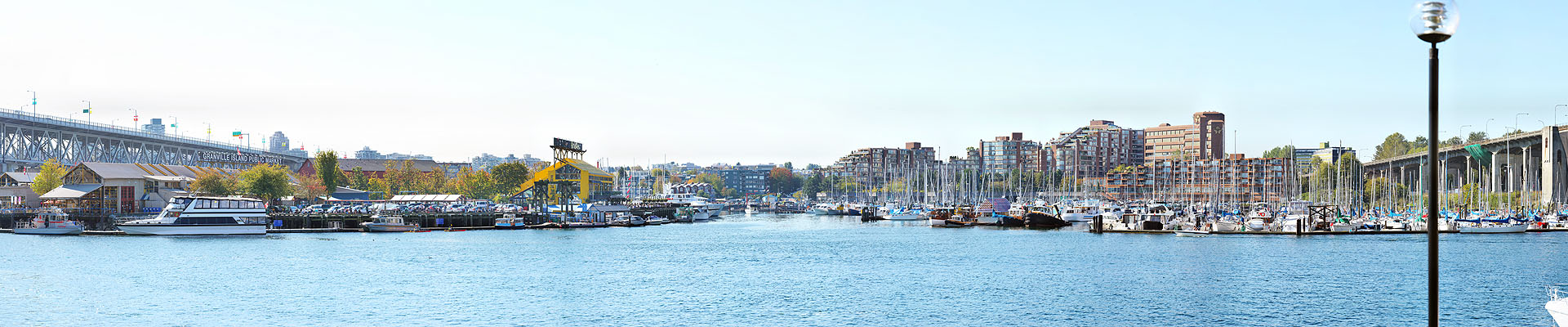
Granville Island is a peninsula and shopping district in Vancouver, British Columbia, Canada. It is located in False Creek directly across from Downtown Vancouver’s peninsula, under the south end of the Granville Street Bridge.
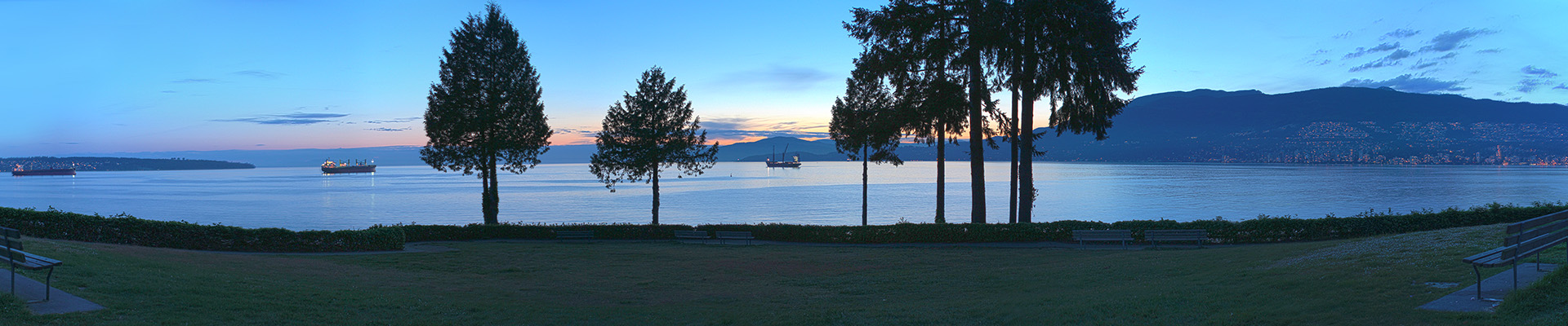
Ferguson Point in Stanley Park is a large grassy area with stunning English Bay views on the western edge of the park above the seawall. With a 180 degree view from Kitsilano and adjoining Point Grey, west toward Vancouver Island and West Vancouver, this lookout is a sought out area to view spectacular sunsets and …